


CC_Frances_CC_15_Itero-Vega_Villalcazar-Sirga_20110706

patrickdanilo
User
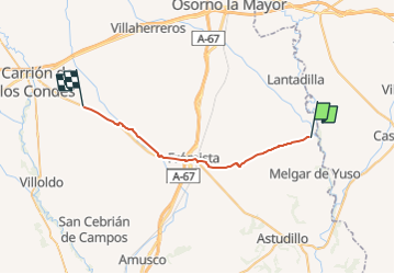

Length
27 km

Max alt
830 m

Uphill gradient
225 m
Km-Effort
30 km

Min alt
766 m

Downhill gradient
193 m
Boucle
No
Creation date :
2019-07-04 17:39:13.103
Updated on :
2022-10-08 19:03:08.764
6h00
Difficulty : Very easy

FREE GPS app for hiking
 SityTrail
IGN / Geographical institutes
SityTrail Plus
The world is yours!
About
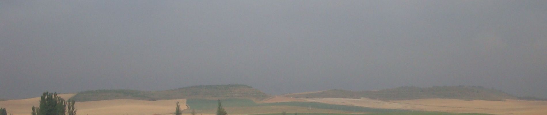
Trail Walking of 27 km to be discovered at Castile and León, Unknown, Itero de la Vega. This trail is proposed by patrickdanilo.
Description
Randonnée Marche de 27 km à découvrir à Itero de la Vega, Palencia, Castilla y León. Cette randonnée est proposée par patrickdanilo
Photos


Positioning
Country:
Spain
Region :
Castile and León
Department/Province :
Unknown
Municipality :
Itero de la Vega
Location:
Unknown
Start:(Dec)
Start:(UTM)
396284 ; 4682449 (30T) N.
Comments